Integrating telematics with an ERP ends the monthly re-keying of data, and that is its easiest benefit to quantify. The difficulty almost never sits with the API. It sits with the fact that operations, finance and IT use three different names for the same vehicle, and nobody has a mandate to decide which one is correct.
Below is the order of work that holds up regardless of fleet size.
1. Start from decisions, not API capabilities
“What can we pull from Wialon?” has an answer: nearly everything. Which is why it is the wrong opening question. The right one is: which decision do we currently make too late, or on hand-assembled data?
The usual answers:
- settling trips and orders — today a spreadsheet stitched from three sources,
- verifying vehicle working time against subcontractor declarations,
- attributing fuel cost to a specific run rather than to a vehicle over a month,
- comparing plan against execution, where the plan lives in the TMS and the execution in telematics.
Each of those requires a different field set and a different frequency. The decision list is simultaneously the requirements list — and the best filter against a scope that otherwise grows without limit.
2. Agree the data dictionary before the first request
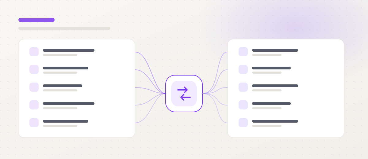
Skipping this stage costs the most. Before any development work, the key identifiers need mapping:
| Concept | Wialon | ERP / TMS | Decision owner |
|---|---|---|---|
| Vehicle | Unit ID | Asset number / registration | Fleet manager |
| Driver | Driver ID | Employee number | HR |
| Order | Task / geofence | Transport number | Operations |
| Cost centre | Unit group | Branch / cost centre | Controlling |
| Trip status | Geofence event | Order status | Operations |
The owner column matters as much as the mapping itself. Without it, the first discrepancy in the data opens a discussion nobody can close, and the project stalls.
A separate and frequently overlooked question: the definition of boundary events. When is a trip “completed” — on geofence entry, on engine shutdown, or on driver confirmation? Three answers produce three different reports and three different invoices.
3. Split data into three frequency classes
Not everything needs to move in real time, and trying to make it do so is the shortest path to an expensive, fragile integration.
- Real-time — order status, critical alerts. Immediate reaction through the notification mechanism.
- Near real-time — vehicle position, stops, geofence events. A few-minute cycle is plenty for a dispatcher.
- Batch — daily and monthly reports, cost summaries, mileage for settlement. An overnight window, when both systems are least loaded.
The split translates directly into maintenance cost and into how the system behaves when a link fails: batch data catches up, real-time data needs a queue and retry logic.
4. Design error handling before errors happen
The expensive failures in integrations are not the visible ones — they are the silent ones. An export that has been sending an empty file for three weeks is discovered at quarter close, and reconstructing the data then costs far more than the mechanism that would have caught it.
The minimum safety net:
- call logging broken down by error type, not one file with everything,
- retry with a cap and exponential backoff, so you do not finish off a system that is coming back up,
- an alert on missing data, not just on errors — silence is a worse symptom than an exception,
- a sync status dashboard available to a business owner, not only to IT,
- a daily data quality report: records processed, records rejected, and why.
5. Run a pilot on a small group
A big-bang integration works even less often than a big-bang monitoring rollout. The sequence that holds:
- 10–20 vehicles representative of different route types.
- Two weeks of data quality measurement — how many records need manual correction and why.
- Process fixes, not only code fixes. This is usually where it emerges that part of the discrepancy comes from how dispatchers work, not from field mapping.
- Rollout only once quality is stable.
Test against a copy of the data. Nobody tests an integration on the production system that issues invoices.
6. What comes next: from export to two-way
The typical development path:
Stage 1 — one-way export. Mileage and fuel cost land in the ERP. Effect: the monthly manual summary disappears. The shortest route to a countable benefit.
Stage 2 — events. Geofence events change order statuses. Effect: the dispatcher stops calling to ask where the vehicle is, and the customer gets a status automatically.
Stage 3 — two-way exchange. An order in the TMS creates a task and a geofence in the platform; execution comes back as a status. Effect: one source of truth about delivery.
Stage 4 — analytics. Telematics data in the warehouse alongside sales data. Effect: customer and lane profitability calculated on facts rather than on quoted rates.
Architecture options and tooling are covered on the Wialon integrations page.
7. When an integration is not worth building
The honest answer is: more often than a supplier’s interest would suggest.
- The process changes every quarter. An integration hard-codes rules. If the rules are unstable, a scheduled export to a spreadsheet is cheaper and adapts faster.
- Fewer than about fifteen vehicles. The hours spent on manual summaries can be smaller than the cost of maintaining an integration service.
- The ERP is on its way out. Integrating with a system the company plans to replace within a year is work you will do twice.
In each case, count the annual hours of manual work and set them against the maintenance cost. That single number settles the discussion faster than any presentation.
Summary
A good integration is 20% code and 80% agreement: what each field means, who decides, how often data moves and what happens when it stops.
Start with one report that is produced by hand today and count the hours it consumes over a year. If the underlying telematics data is not yet in order, start there instead — an integration built on messy data replicates the mess, only faster. The rollout sequence is in the article on GPS fleet tracking.
Frequently asked questions
How long does a Wialon–ERP integration take?
A one-way export of a single data type — monthly mileage into accounting, for instance — is usually two to four weeks from sign-off on the specification. A two-way exchange of orders and statuses with a TMS is a multi-month project, run in stages with something working after each stage.
What usually blocks an integration project?
Not the API, but the absence of a shared data dictionary. As long as operations, finance and IT identify the same vehicle three different ways, every integration will need manual correction. The second common blocker is no business owner for a field — nobody is entitled to decide what "trip completed" means.
Does every company need real-time synchronisation?
No, and in most cases real-time raises cost without benefit. Order statuses are worth passing immediately, but vehicle position on a few-minute cycle and reports in an overnight batch are cheaper to maintain and sufficient for the business.
Does Wialon have an open API?
Yes. Wialon Remote API works over HTTP/JSON and exposes units, sensors, trips, events and reports, plus configurable notifications. That supports both scheduled pulls and near-real-time reaction to events.
What if the ERP has no API?
Then the integration runs on file exchange in an agreed format — usually CSV or XML in an exchange directory or over SFTP. Less elegant, but entirely sufficient for daily or monthly processes and far cheaper than extending the ERP.